o
m
e
Inner/Outer , 2016-19
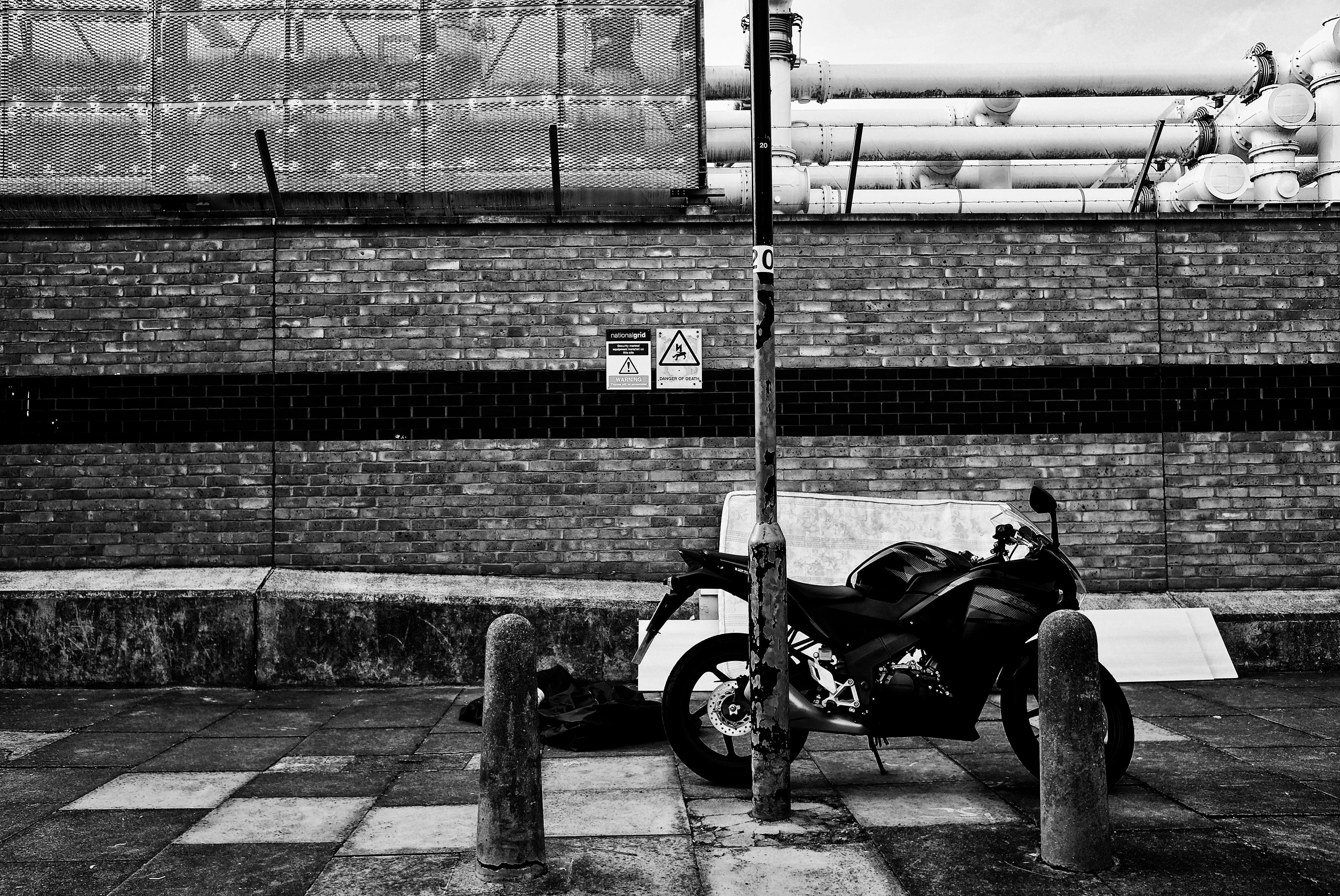
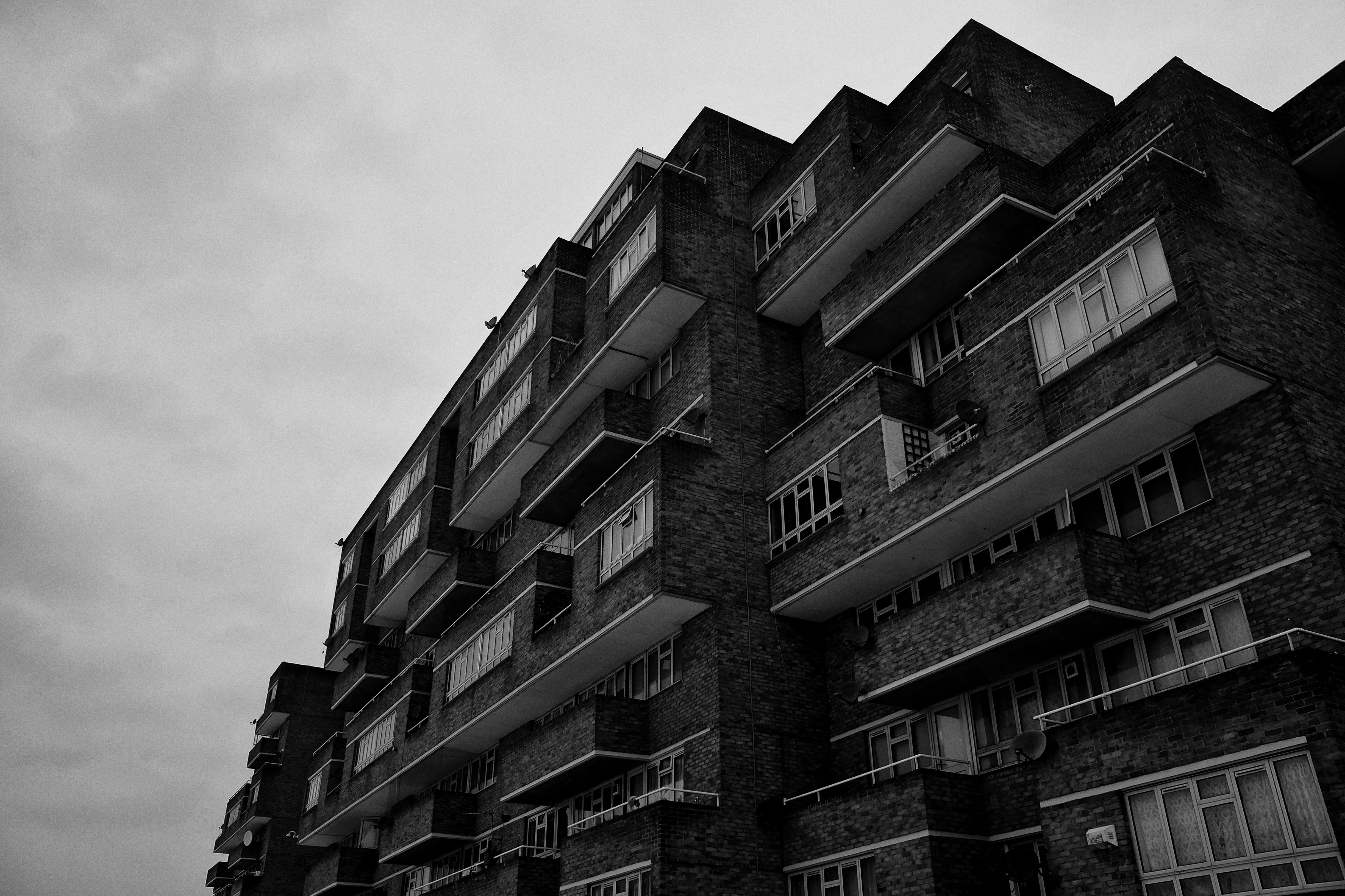
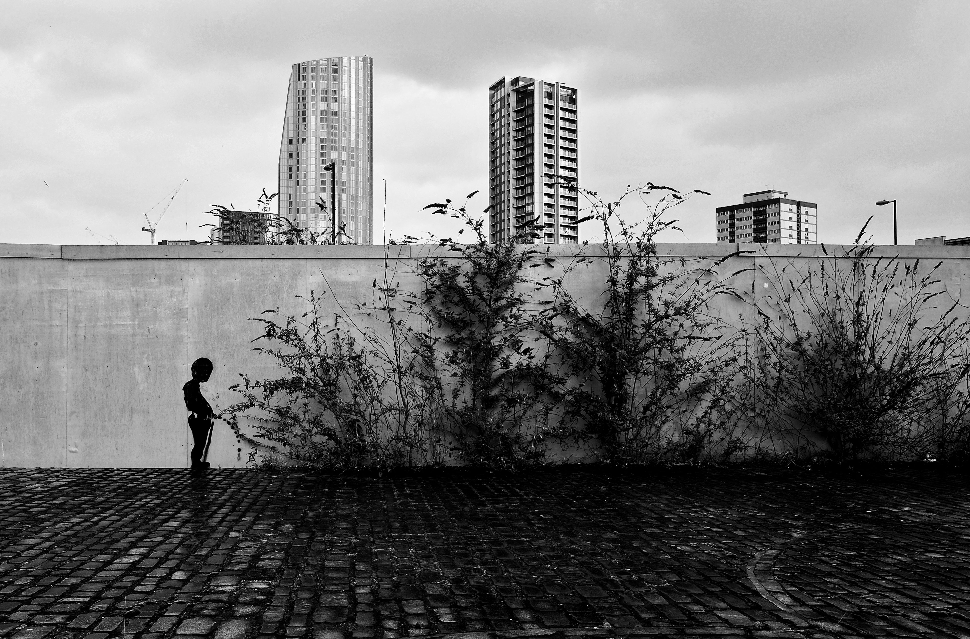
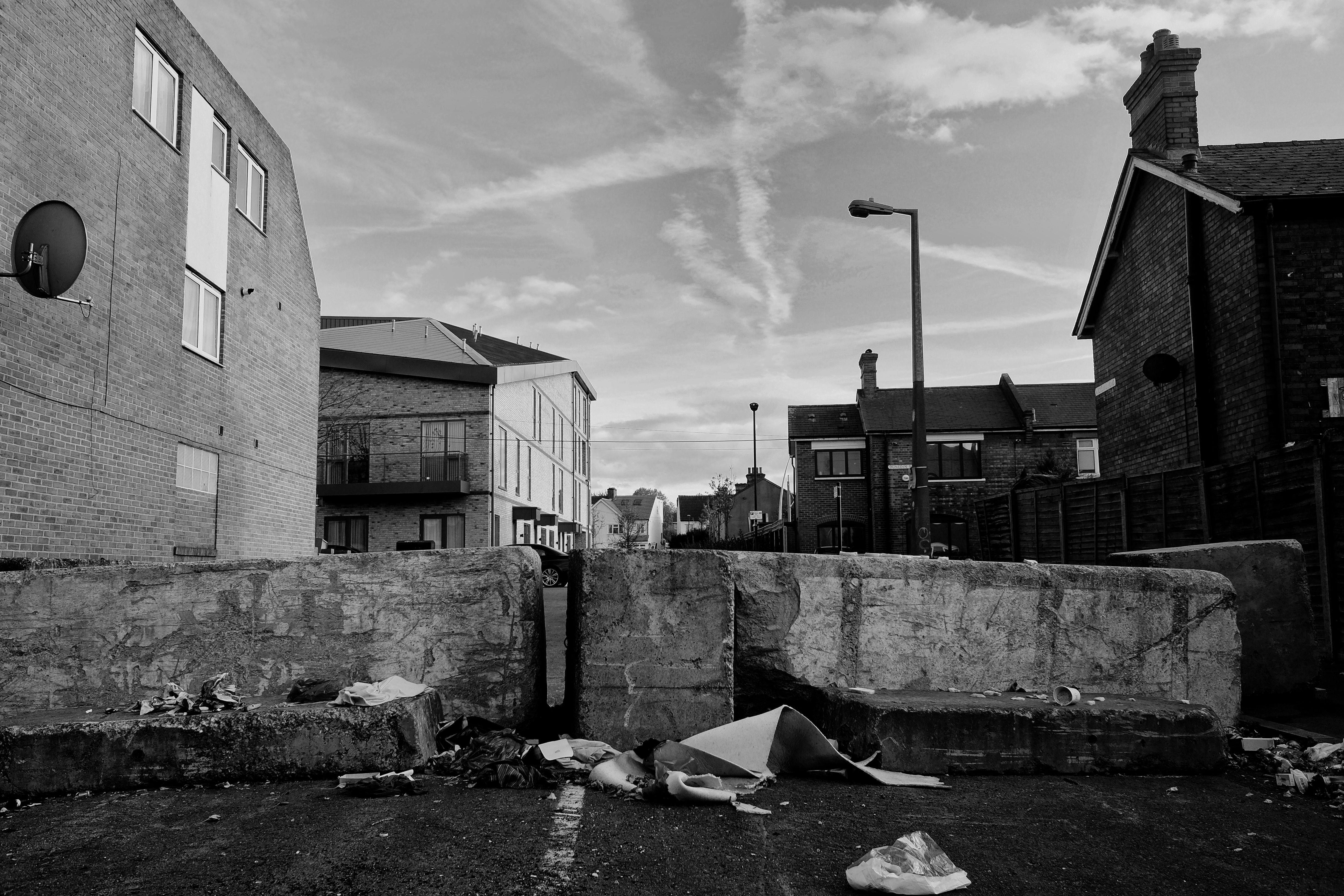
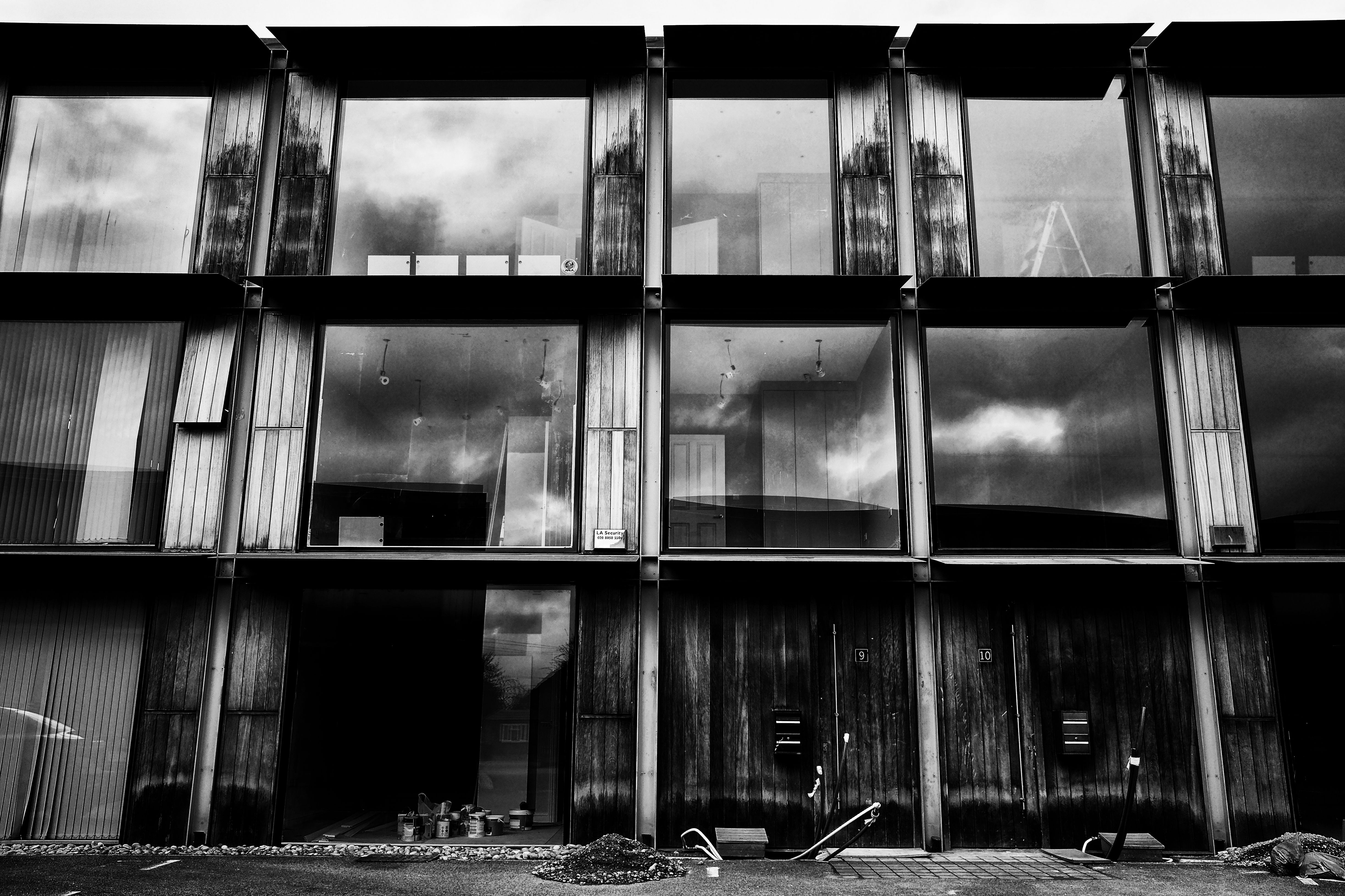
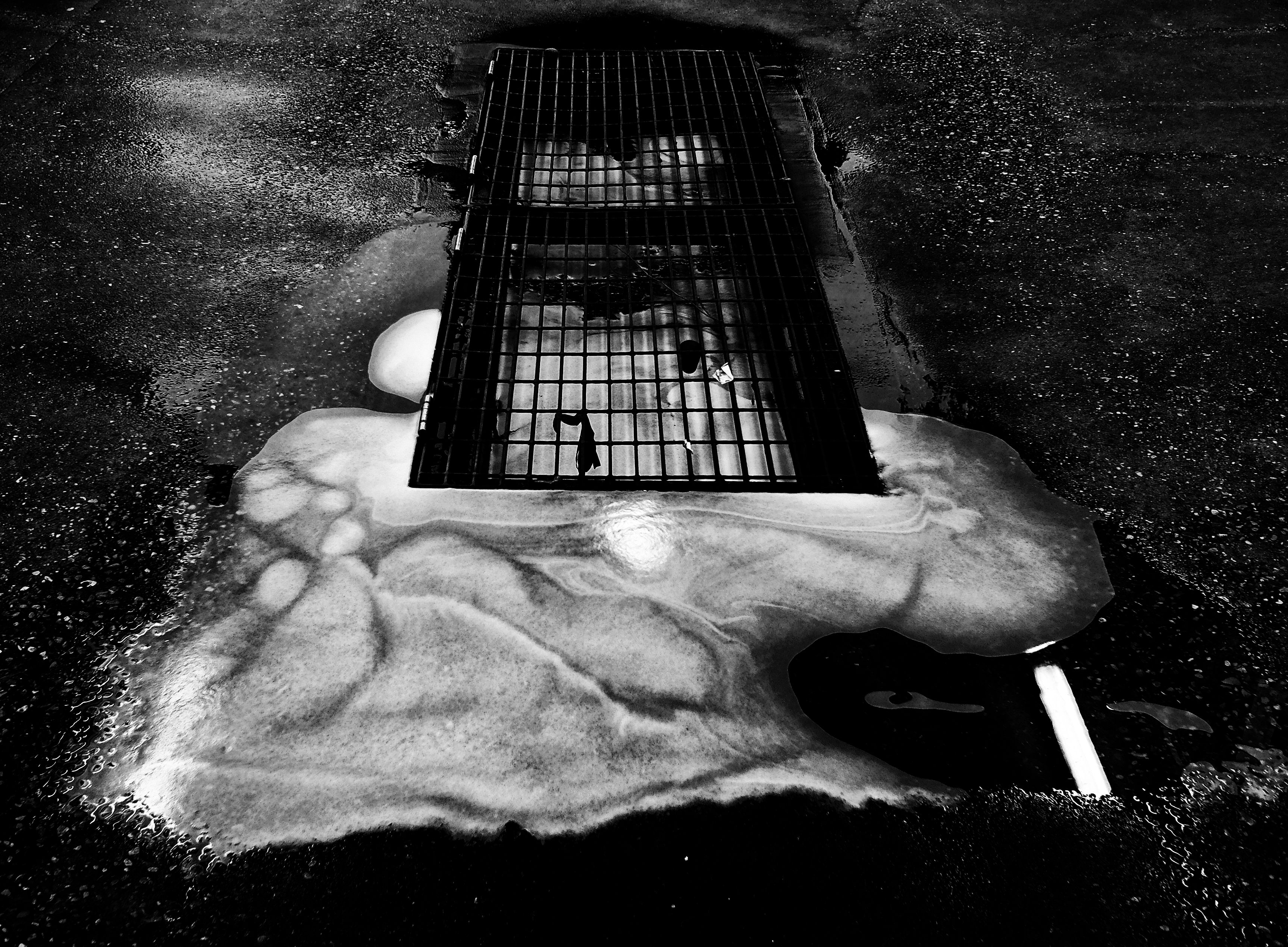
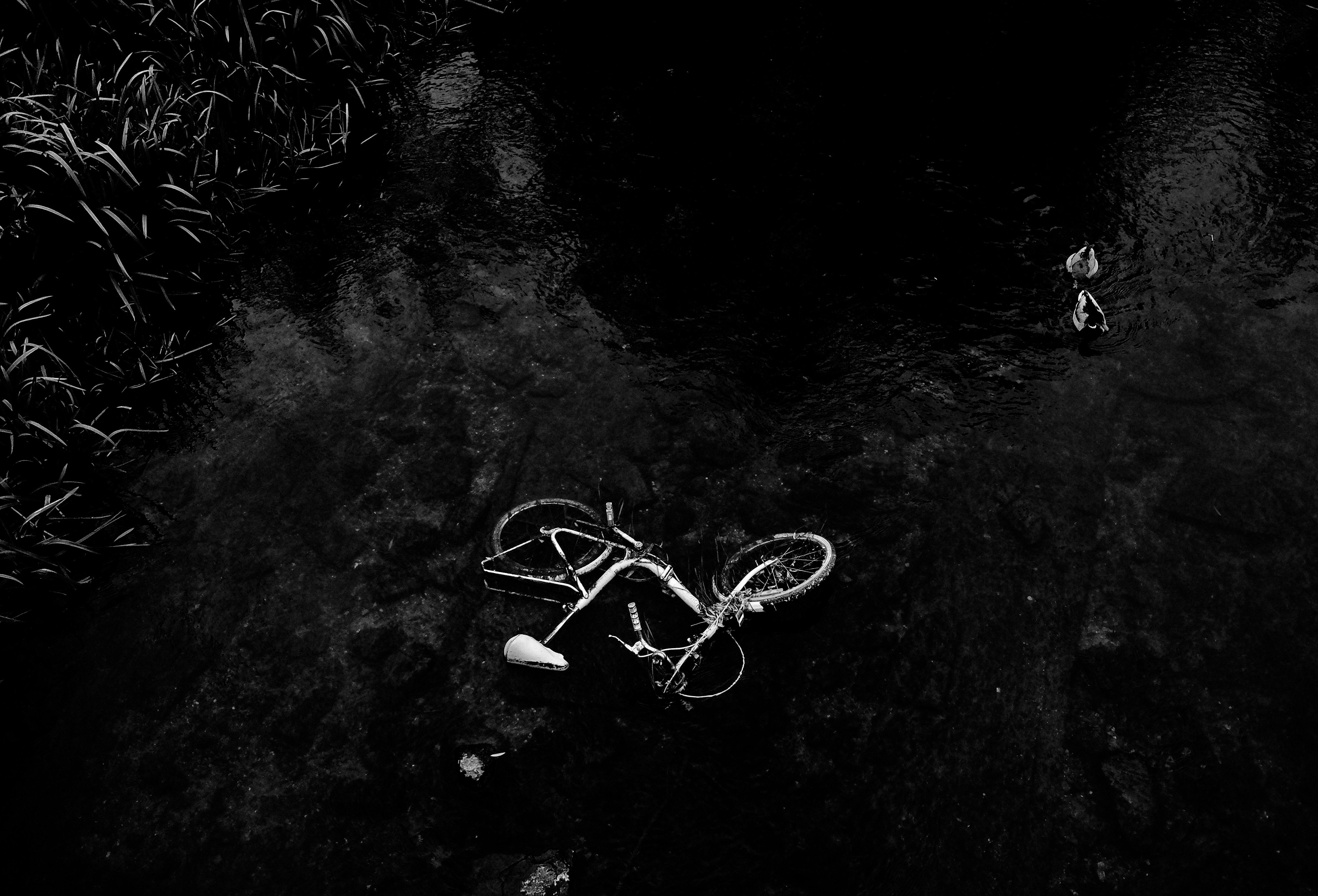
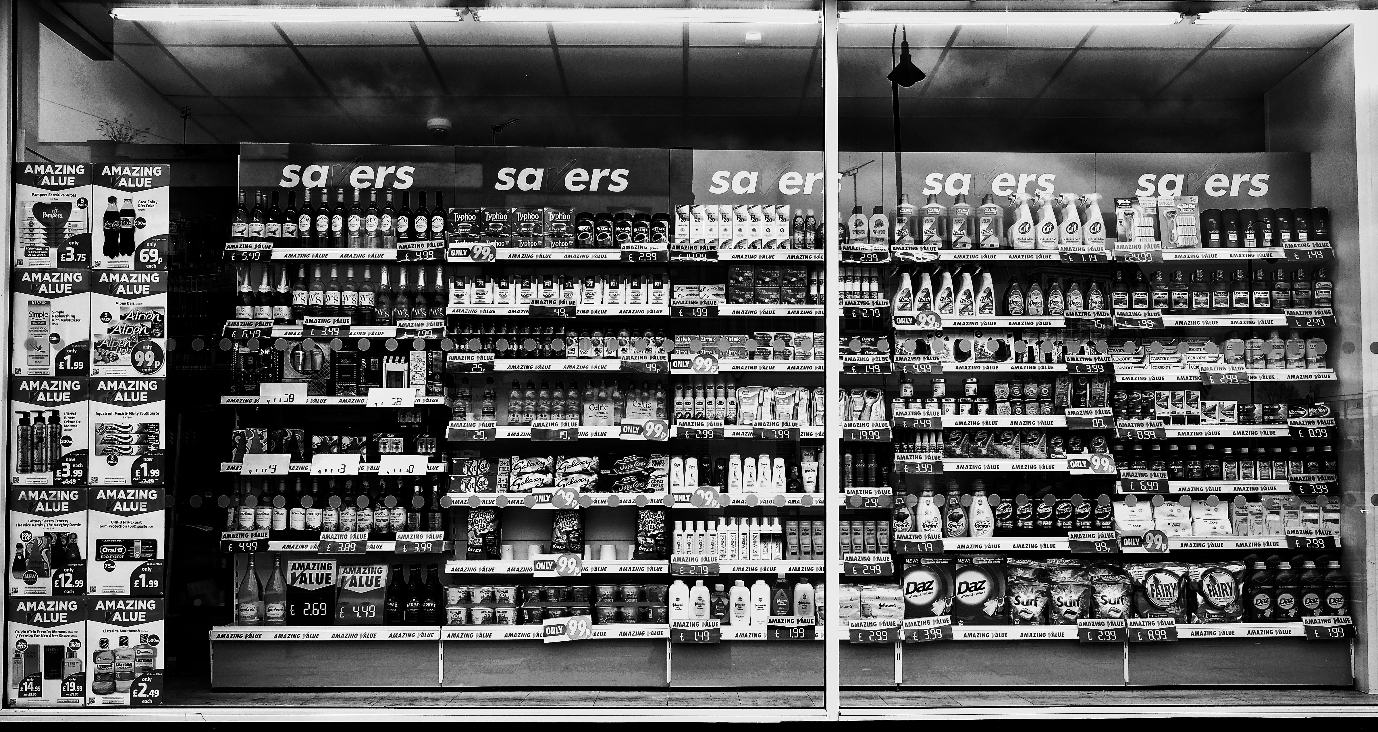
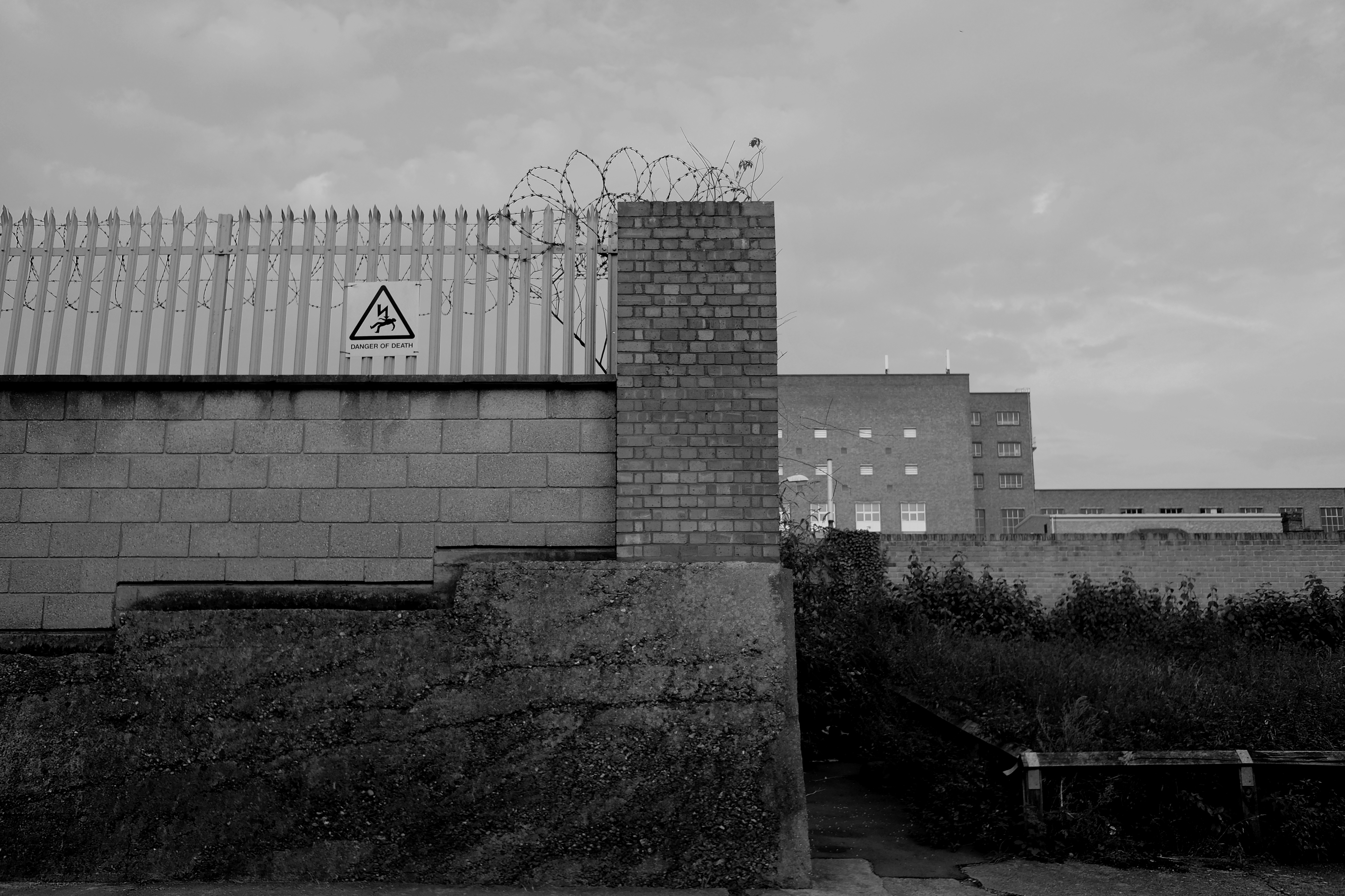
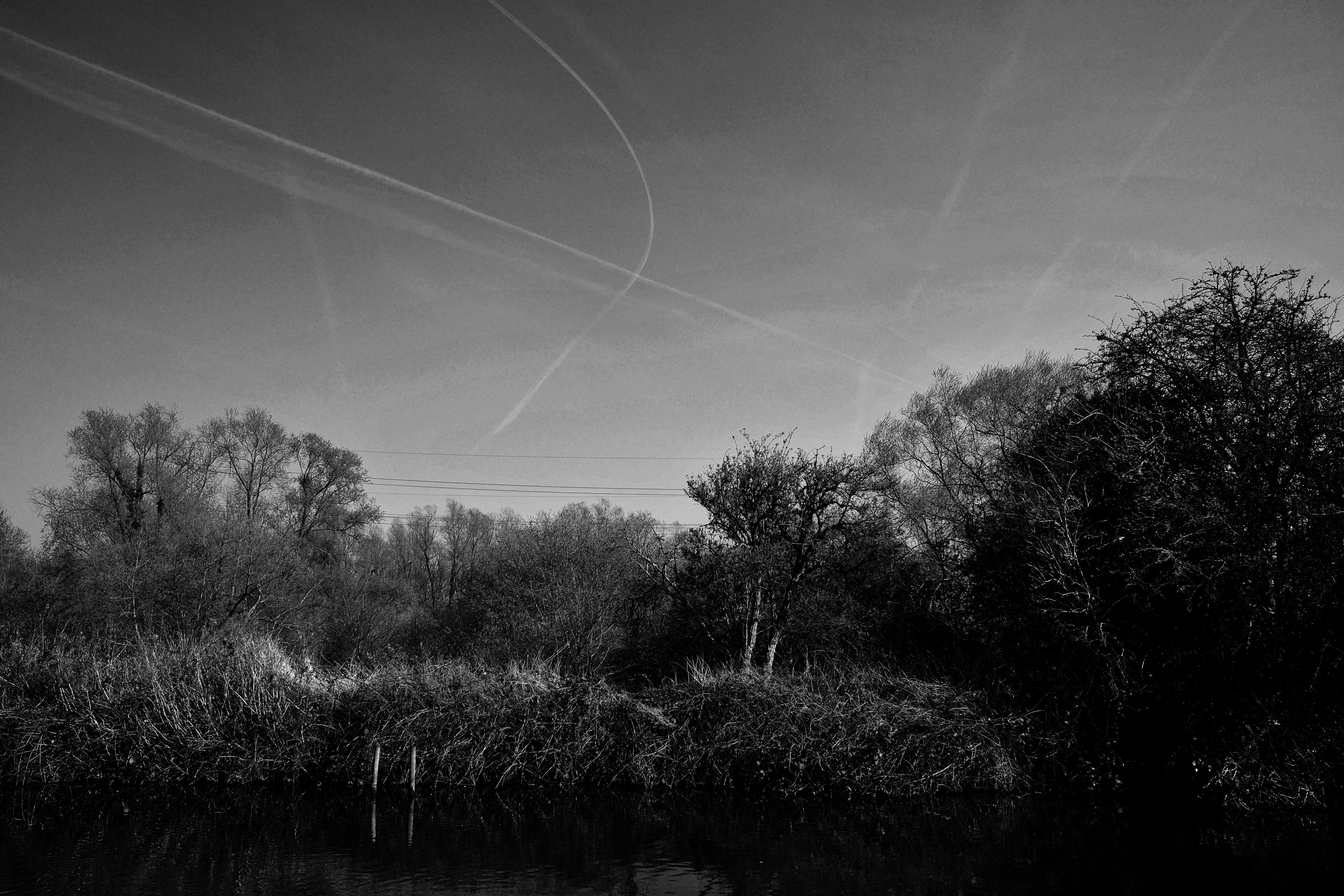
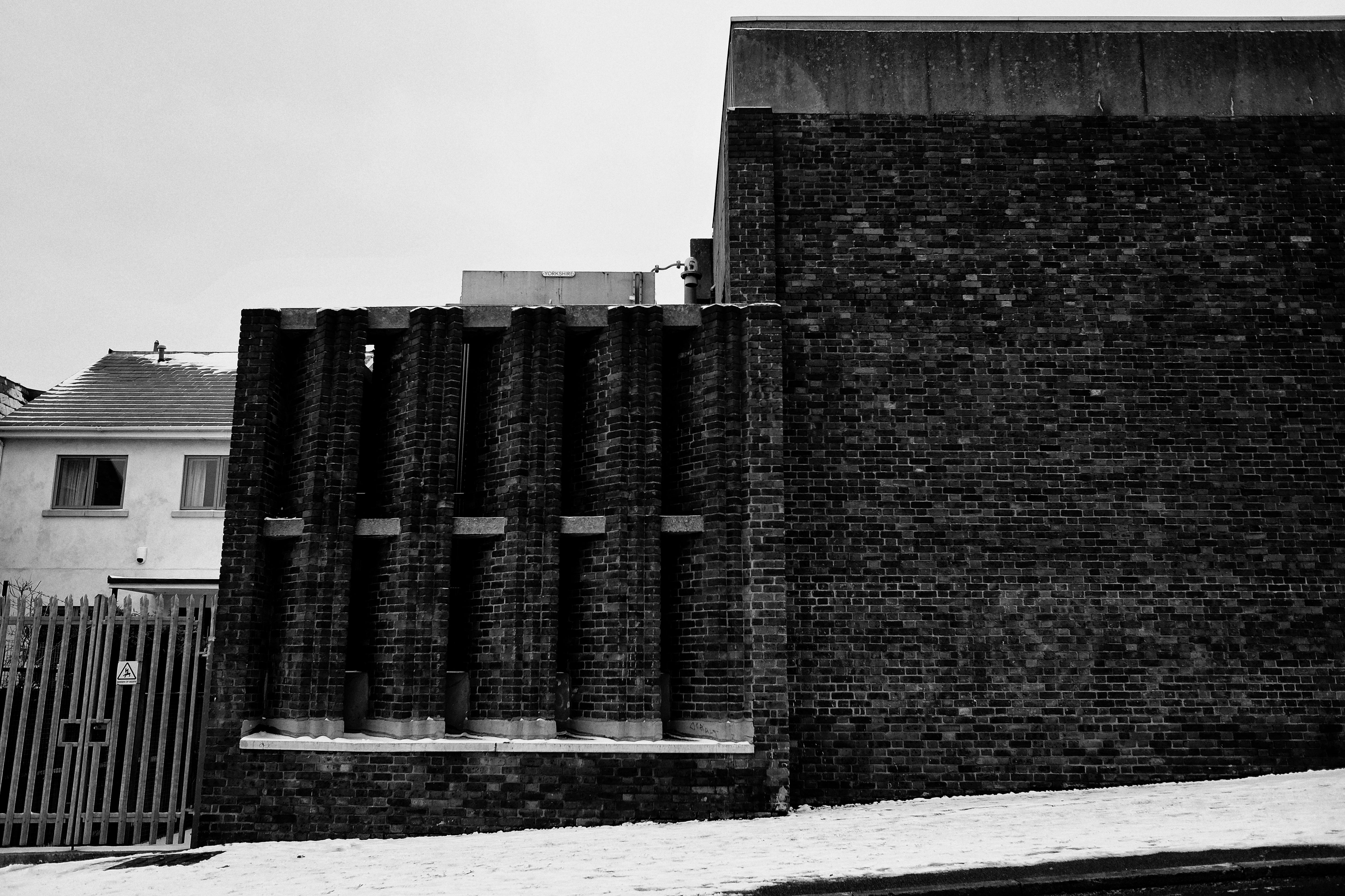
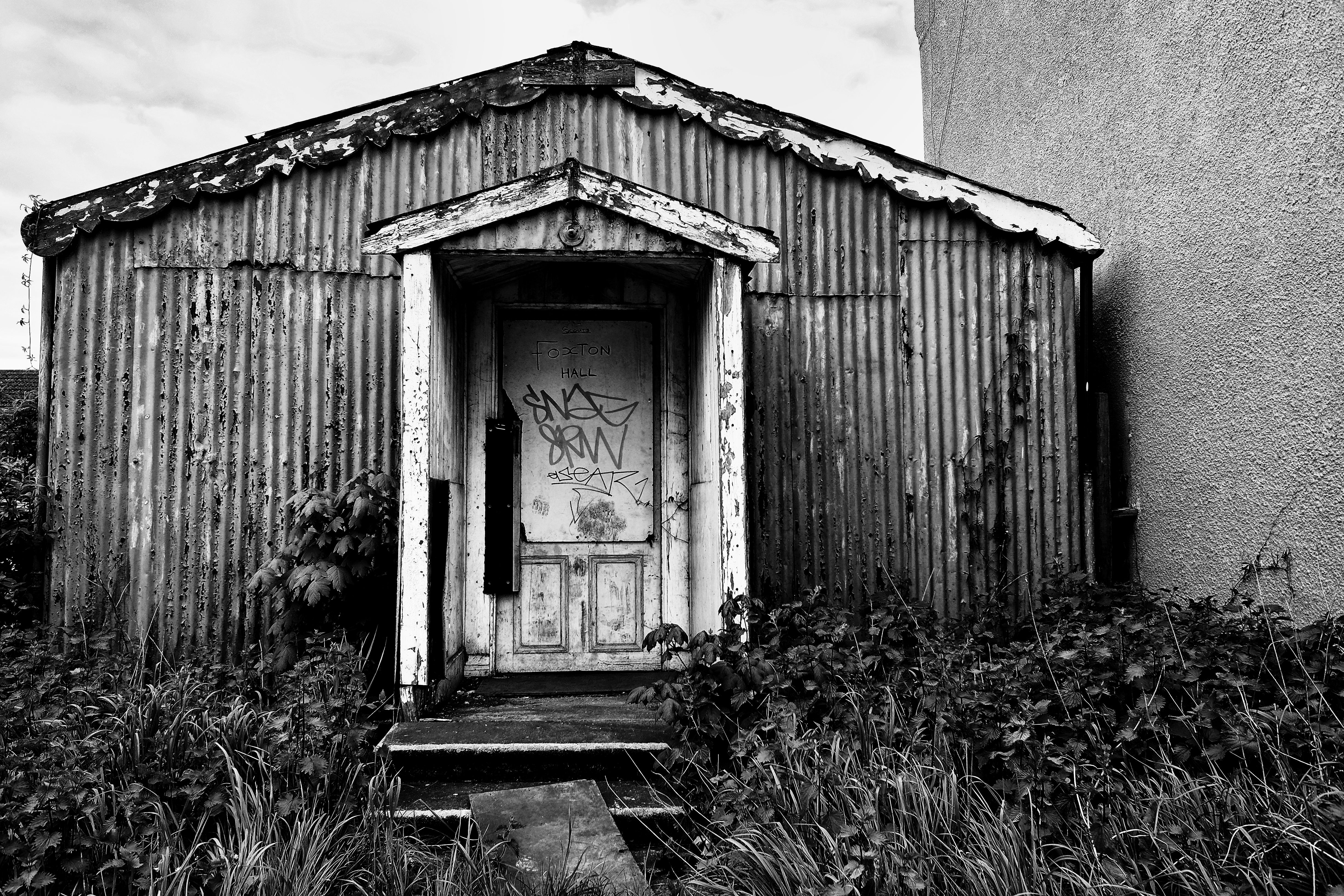
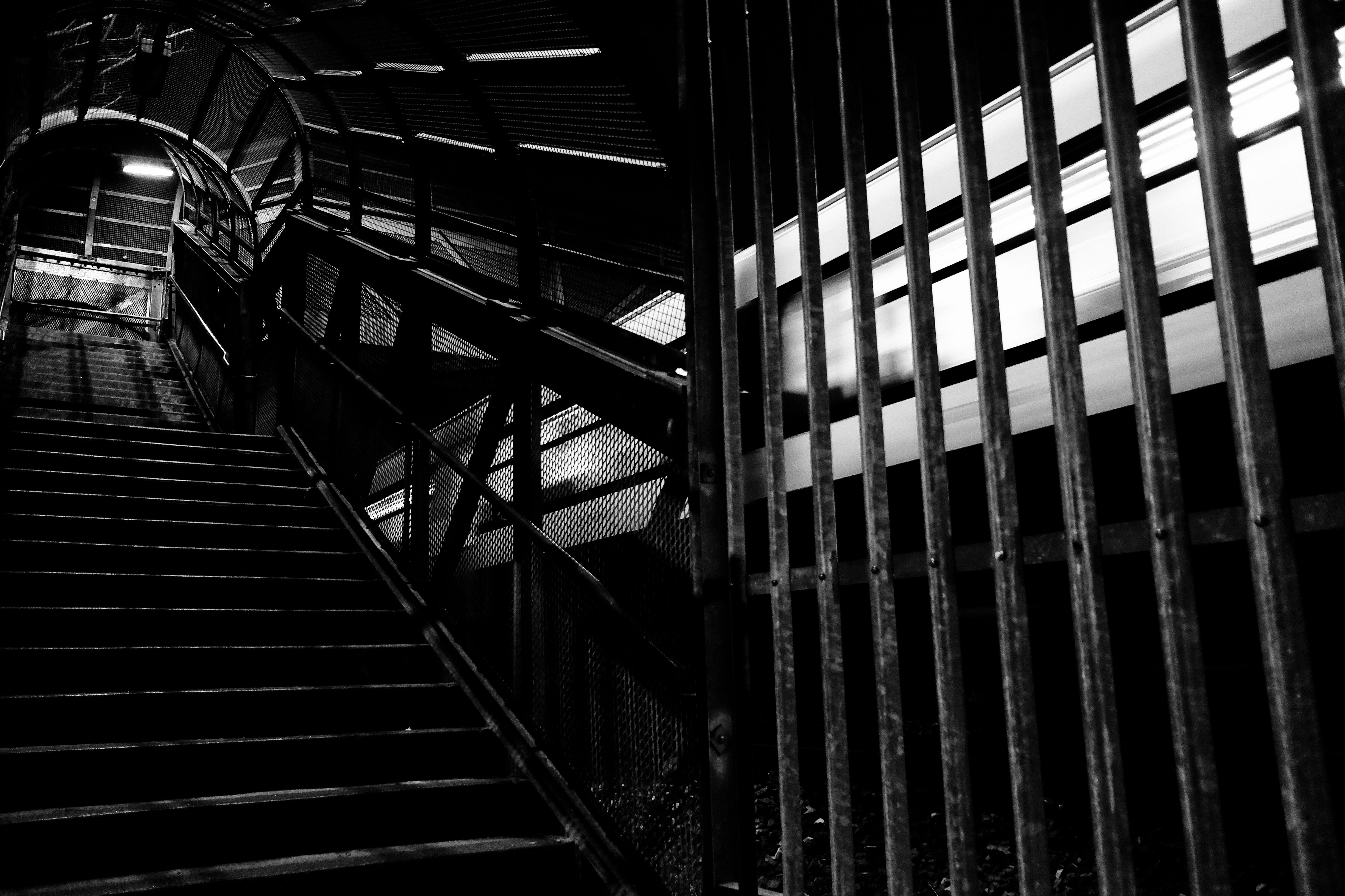
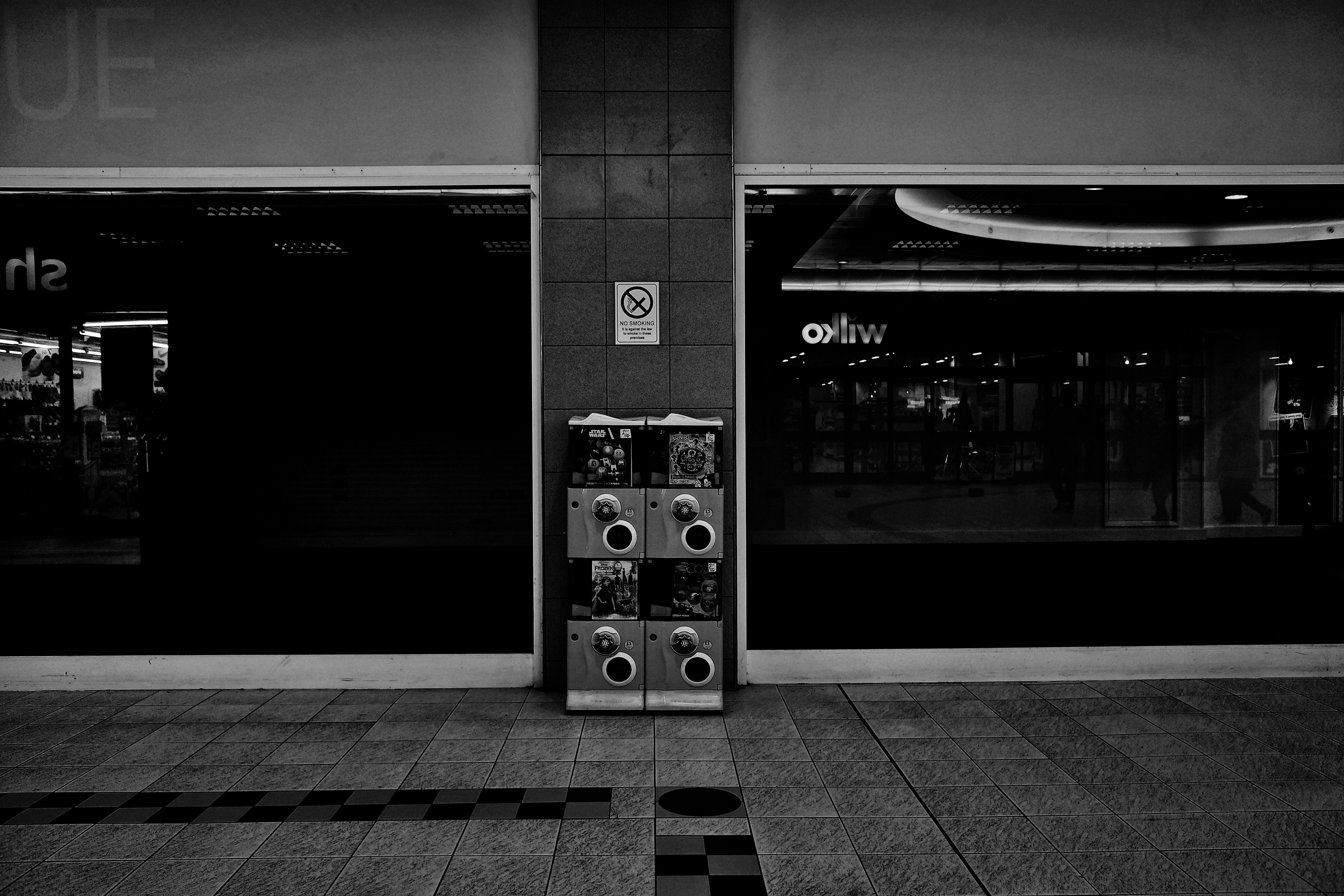
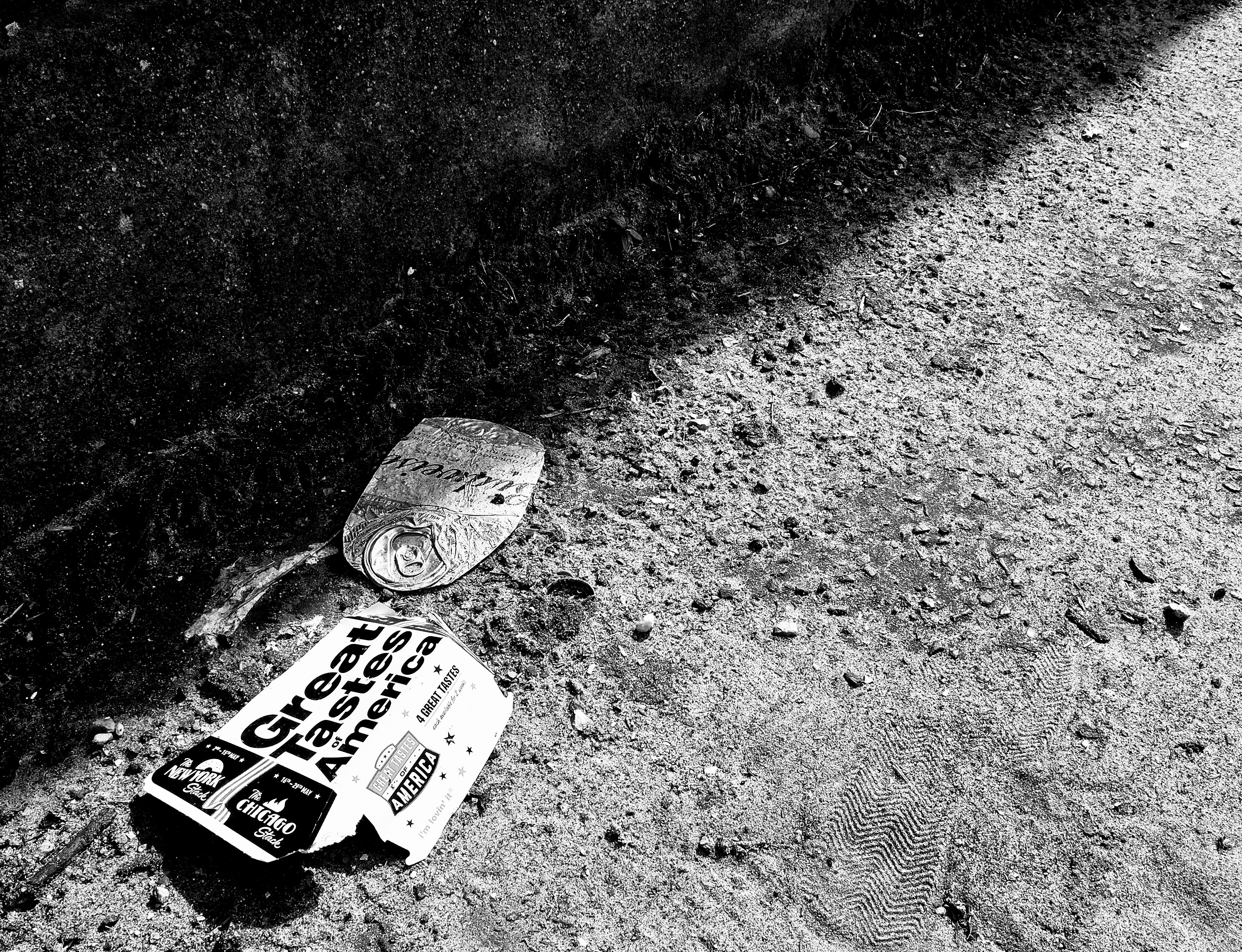
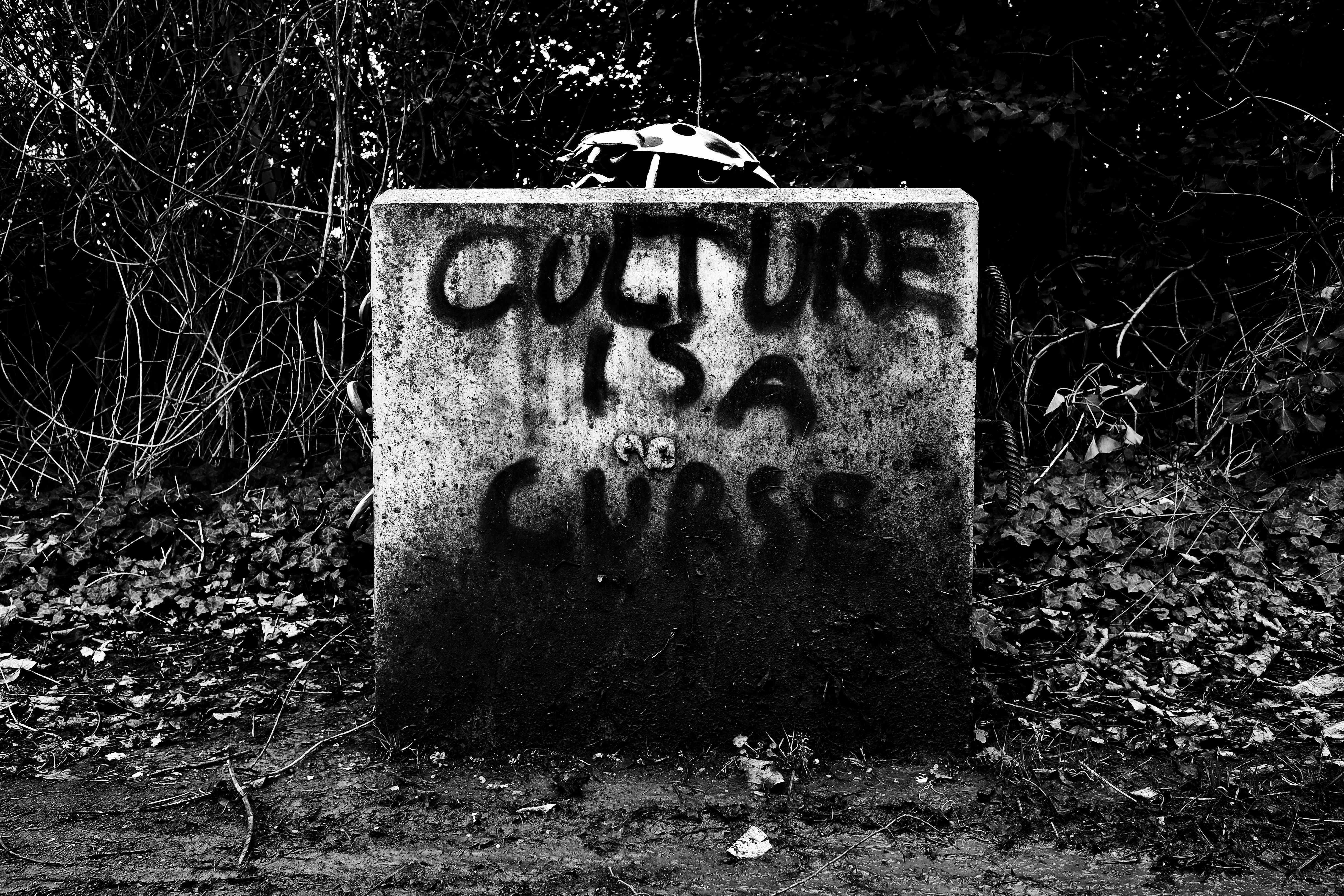
These photographs chronicle hundreds of miles over years of walking across Greater London. As a collection of villages that grew into an amorphous, sprawling metropolis, London offers an infinite map to traverse. As various train networks connect disparate areas of the city, neighborhoods lacking convenient transit links become islands isolated in the flood of the sprawl. Inspired by the notions of psychogeography developed by writers like Debord and Sinclair, my walks became increasingly longer, drifting from Zone to Zone, planning routes based on intuition or randomness. Through these drifts, the borders of the city reconstructed themselves, my sense of geography becoming an extension of my walking and not confined by borough boundaries or trainlines. London itself became both repetitive and varied. The same high street, the same architecture, repeating itself in vastly different districts, always the same, and always distinct. The camera became my compass, my tool to listen to the inaudible signs, following flashes of light and texture in my exploration of the city. These photographs are the map.