o
m
e
Estuary, Geography of Nowhere , 2017-19
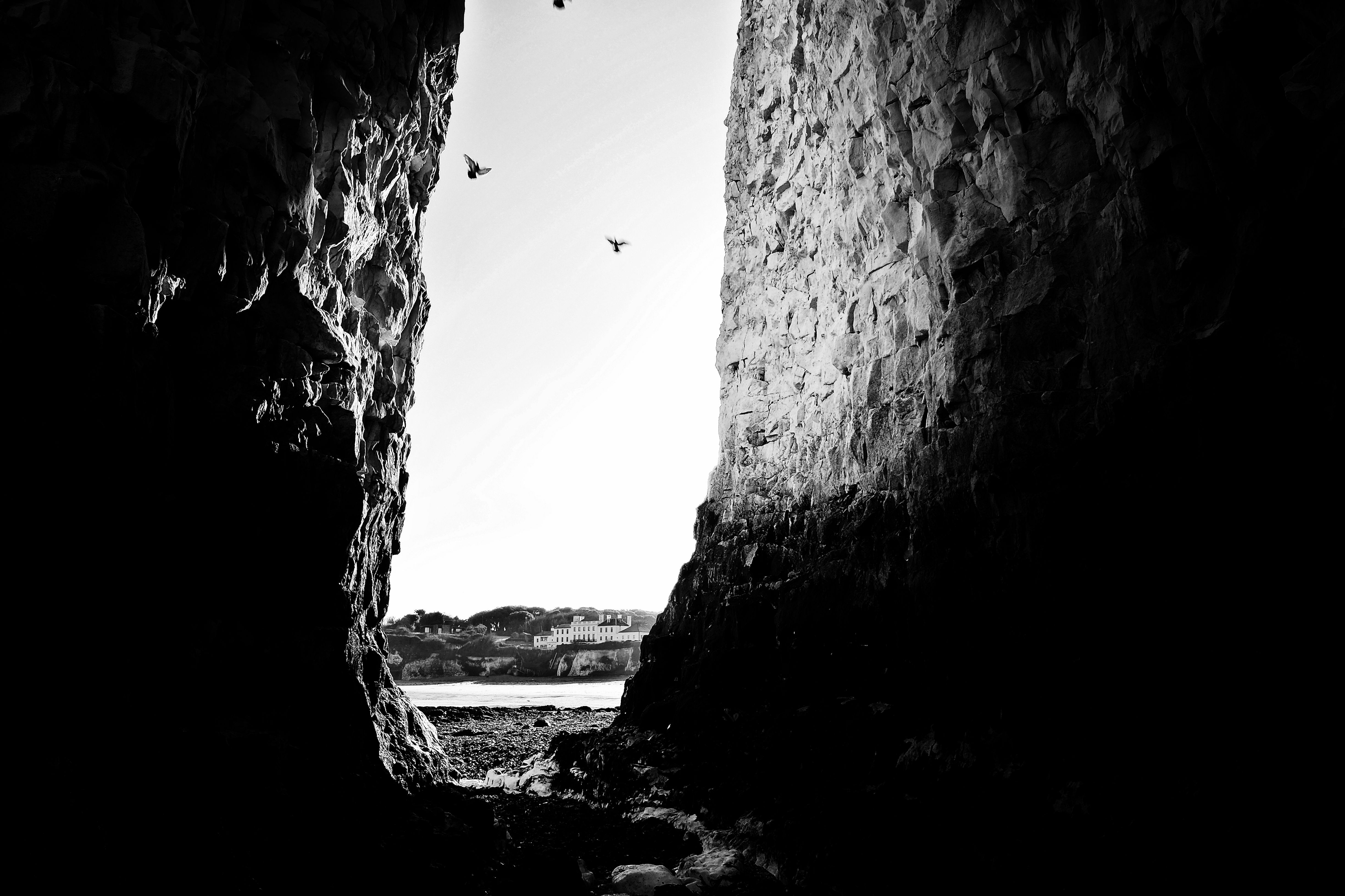
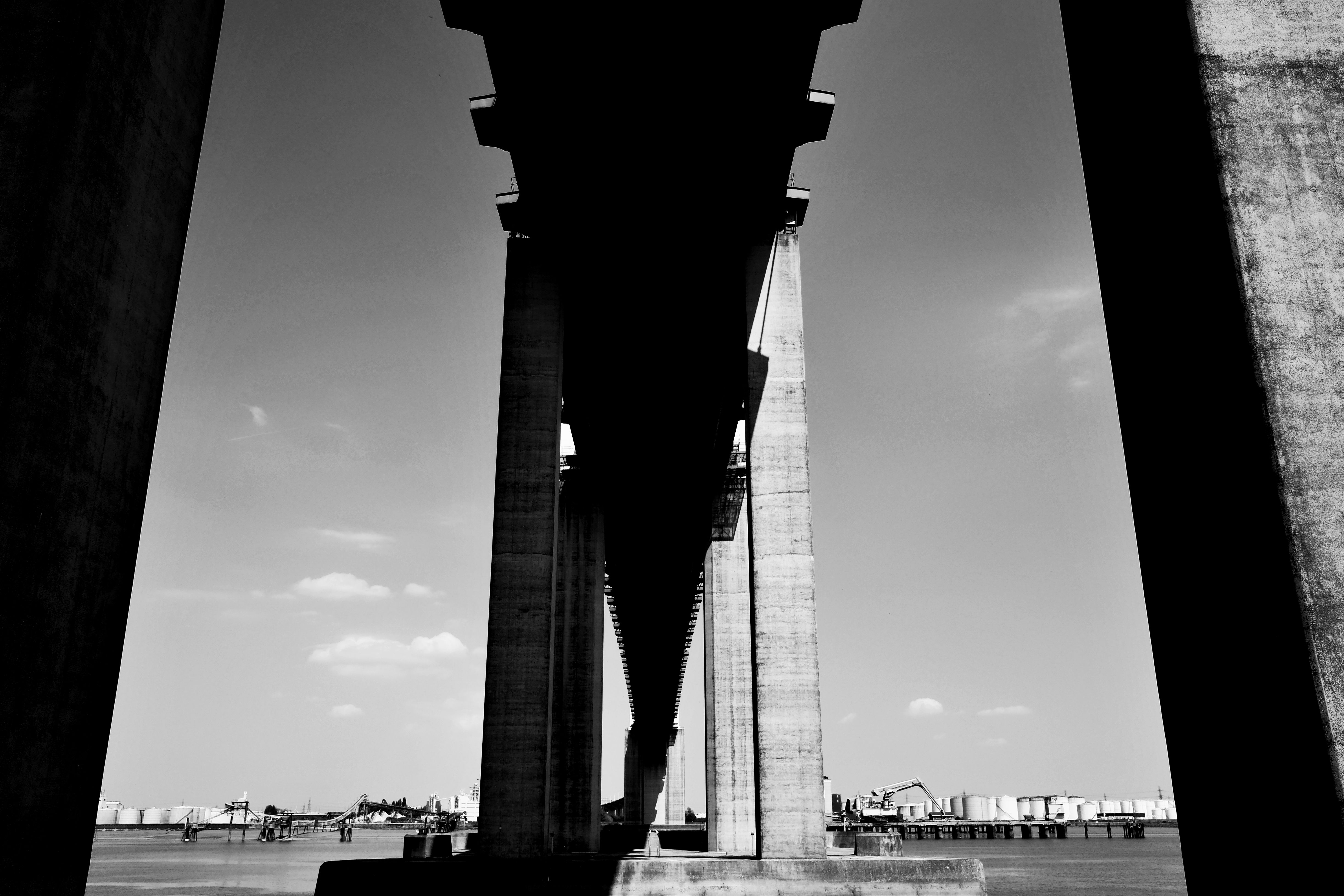
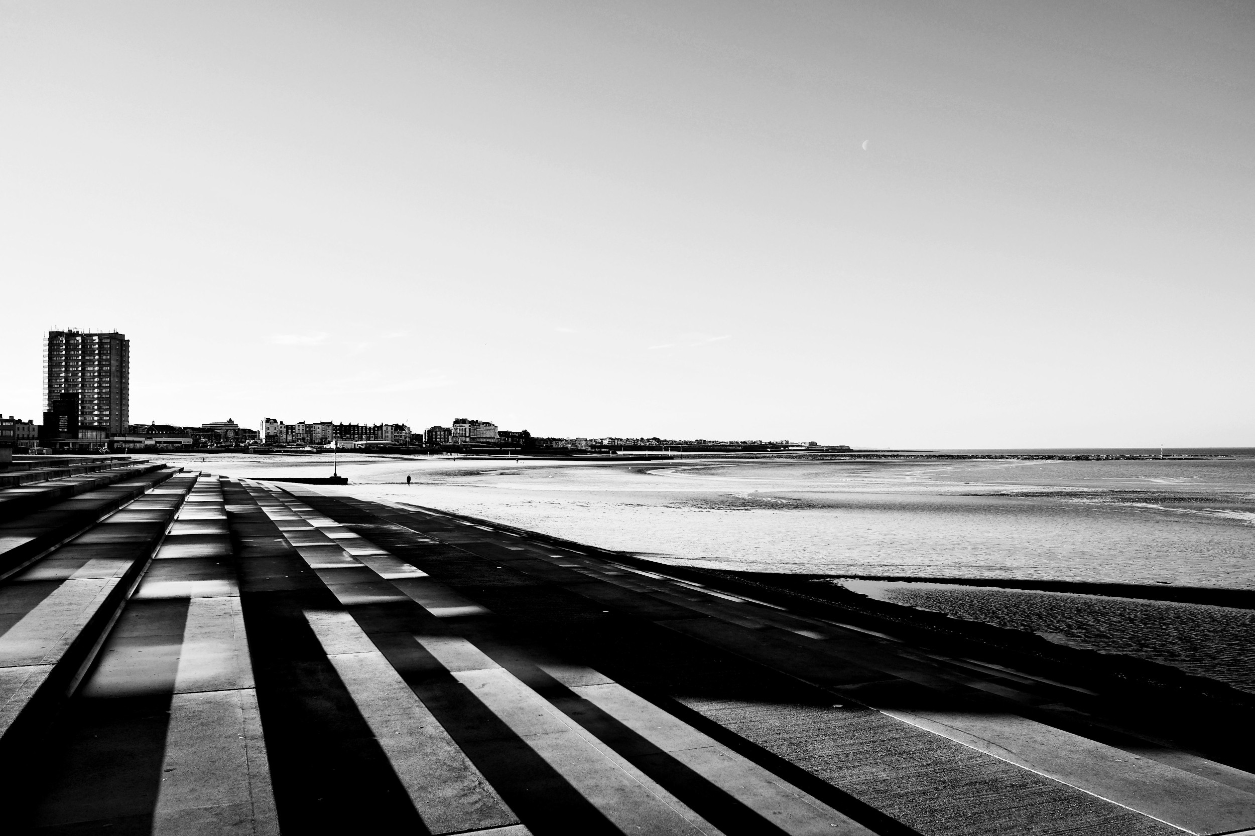
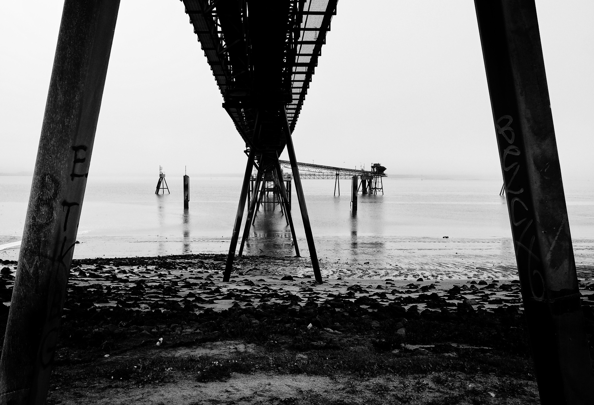
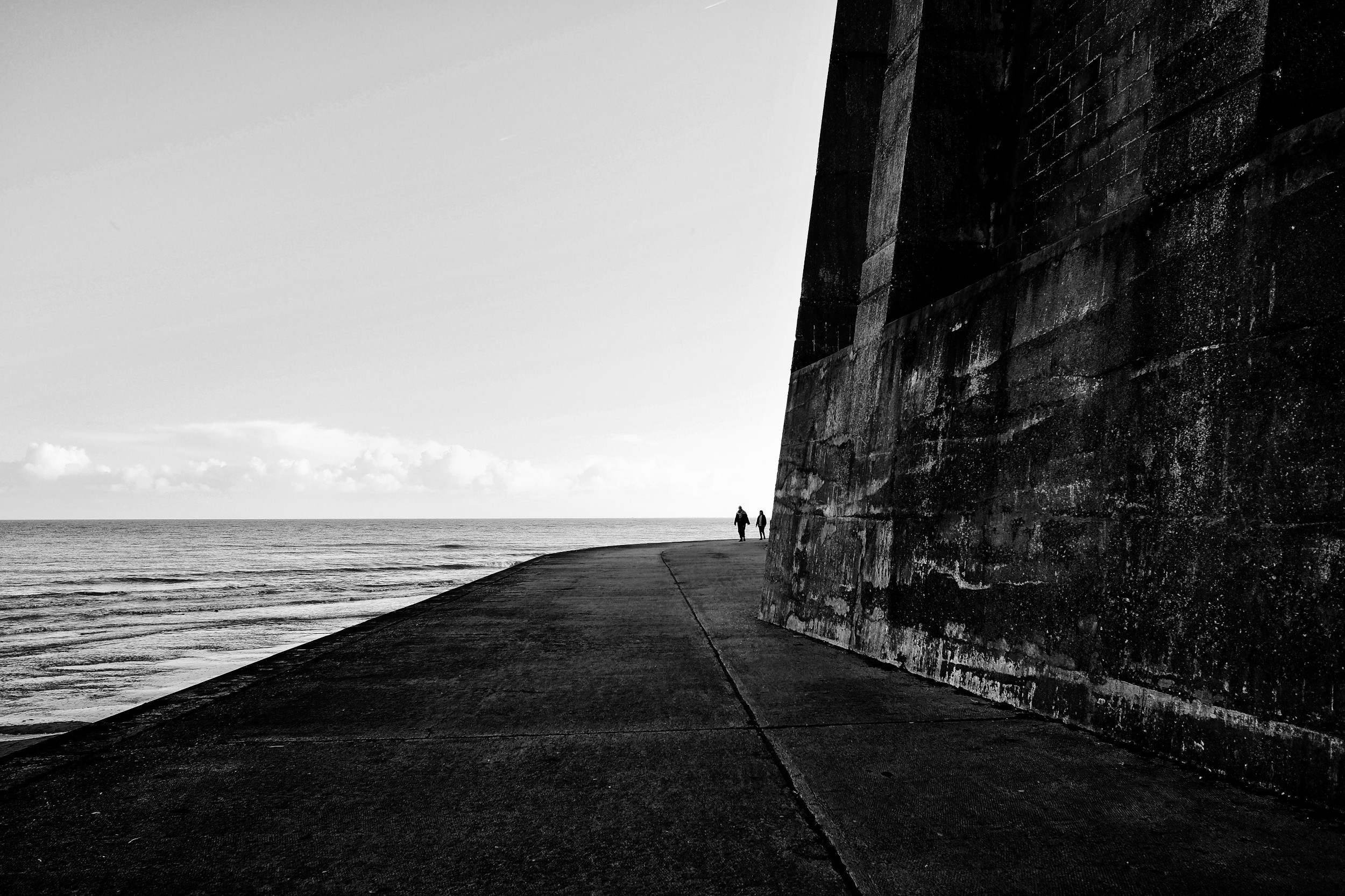
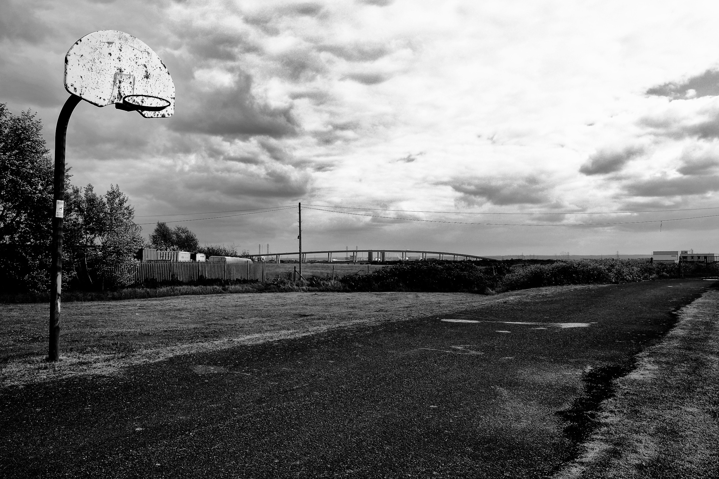
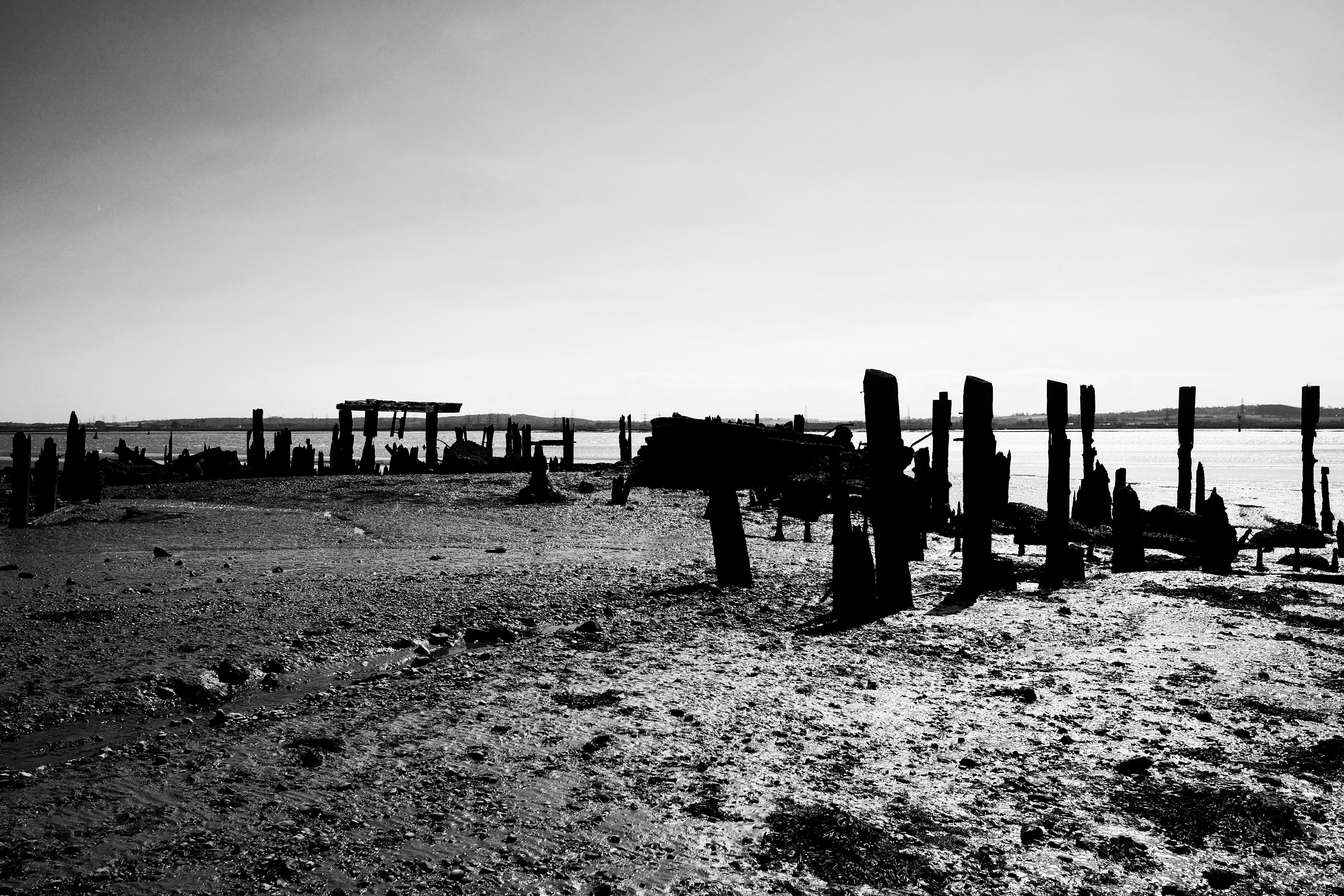
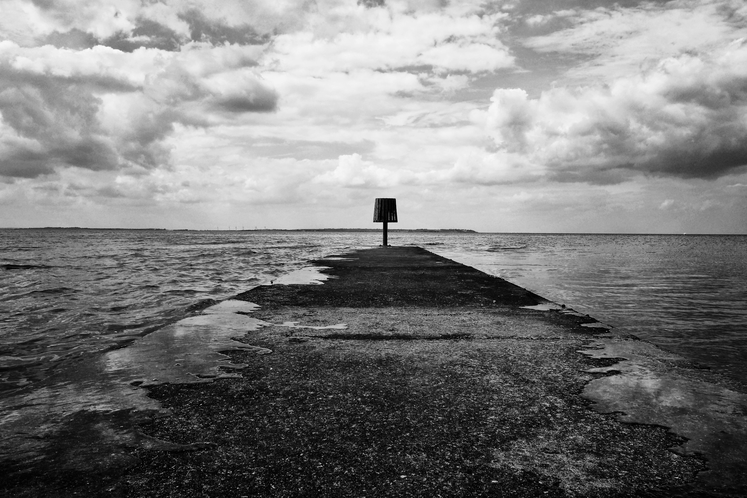
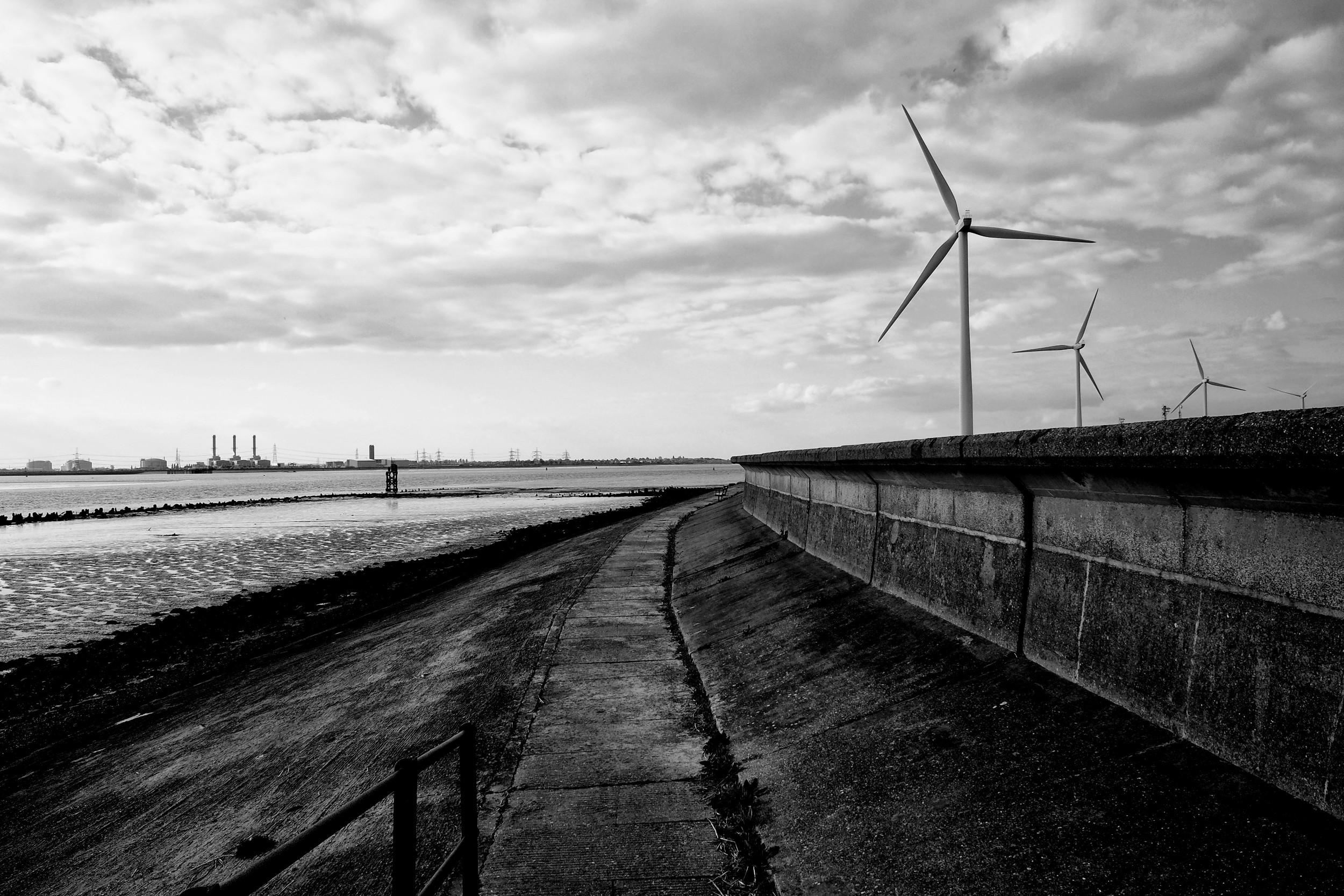
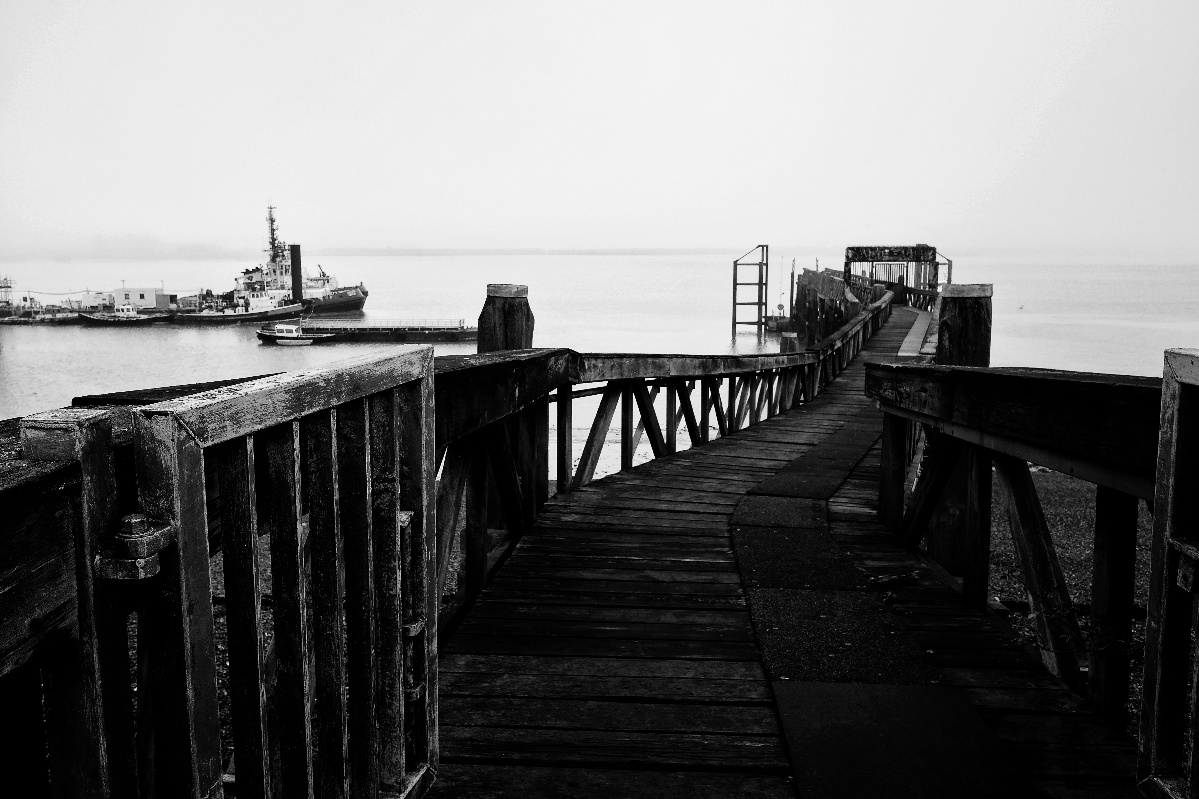
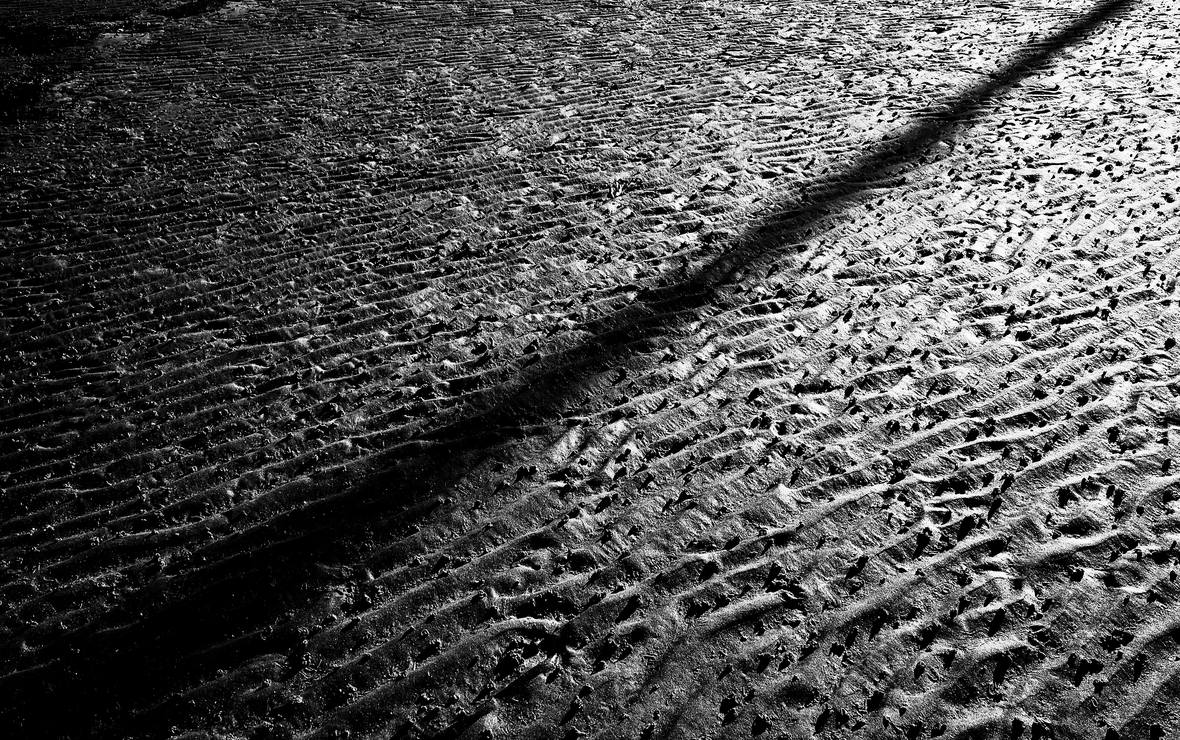
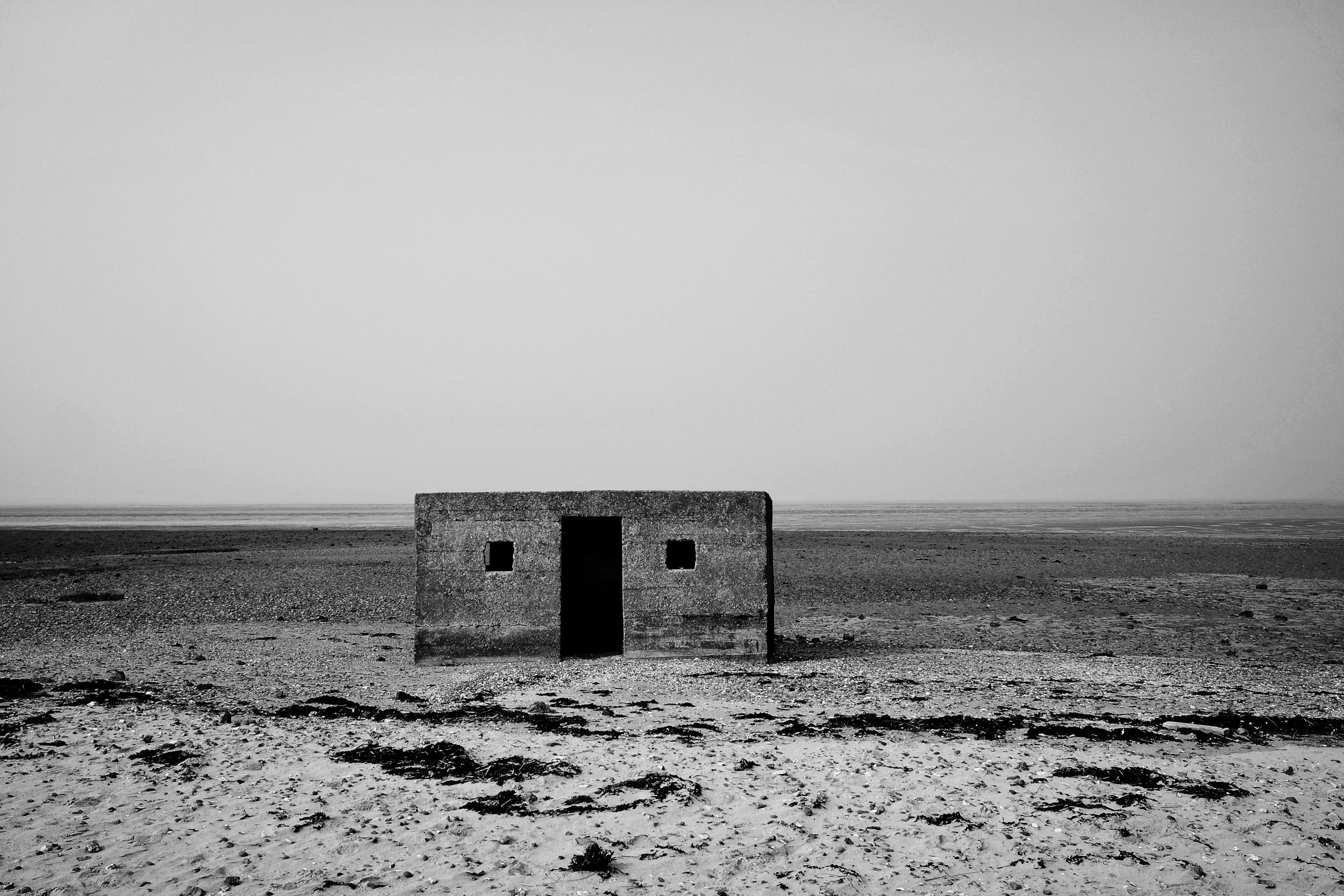
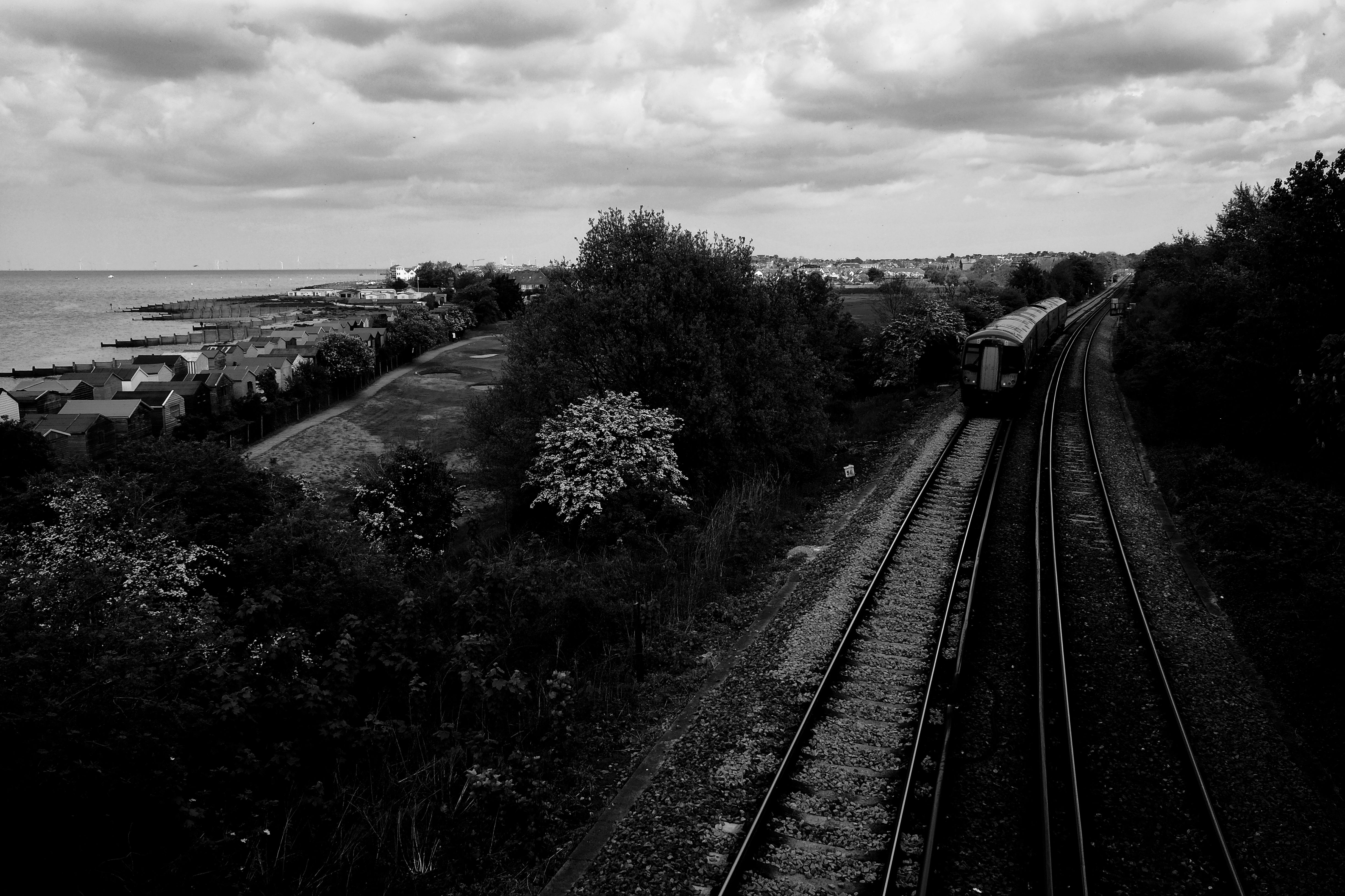
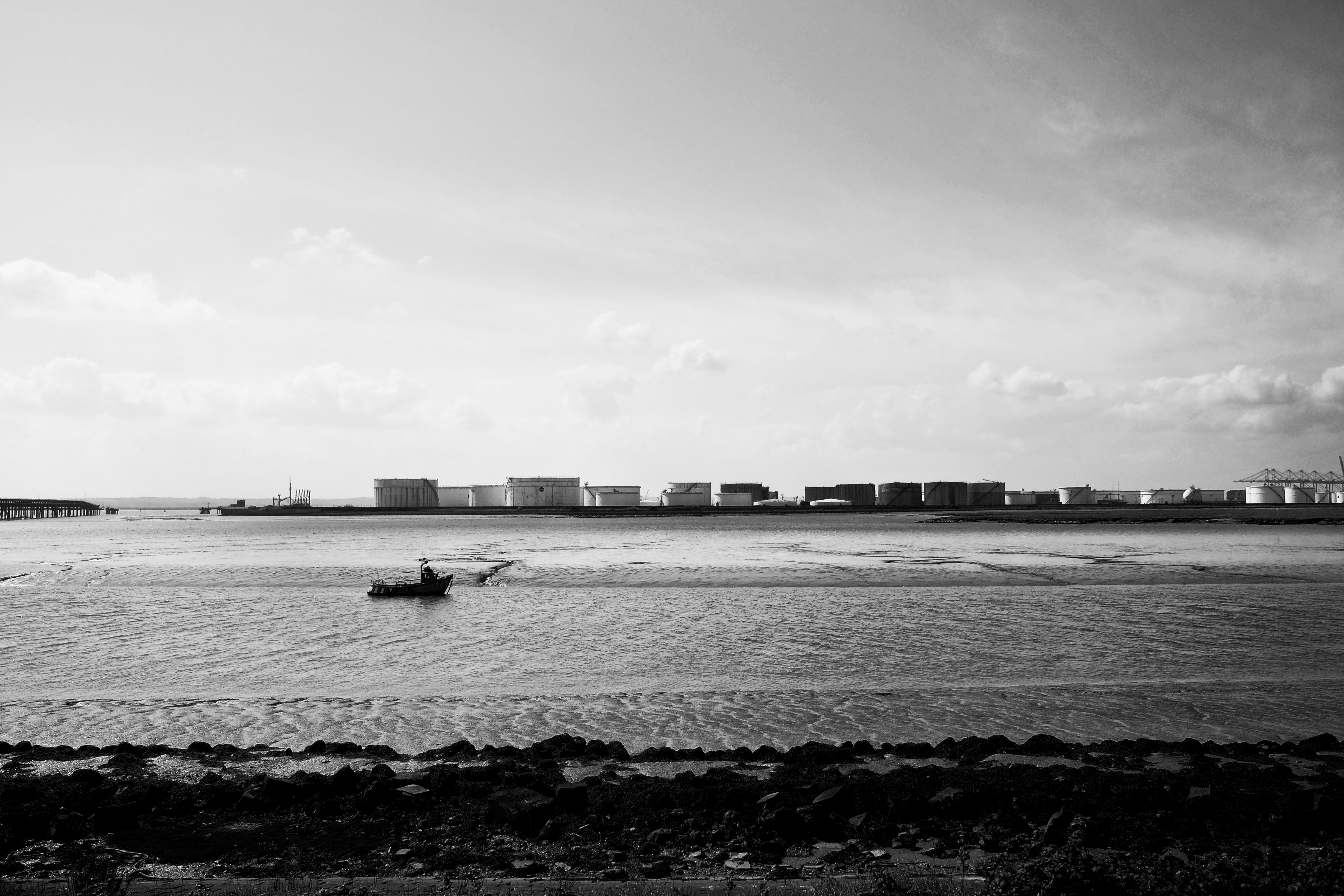
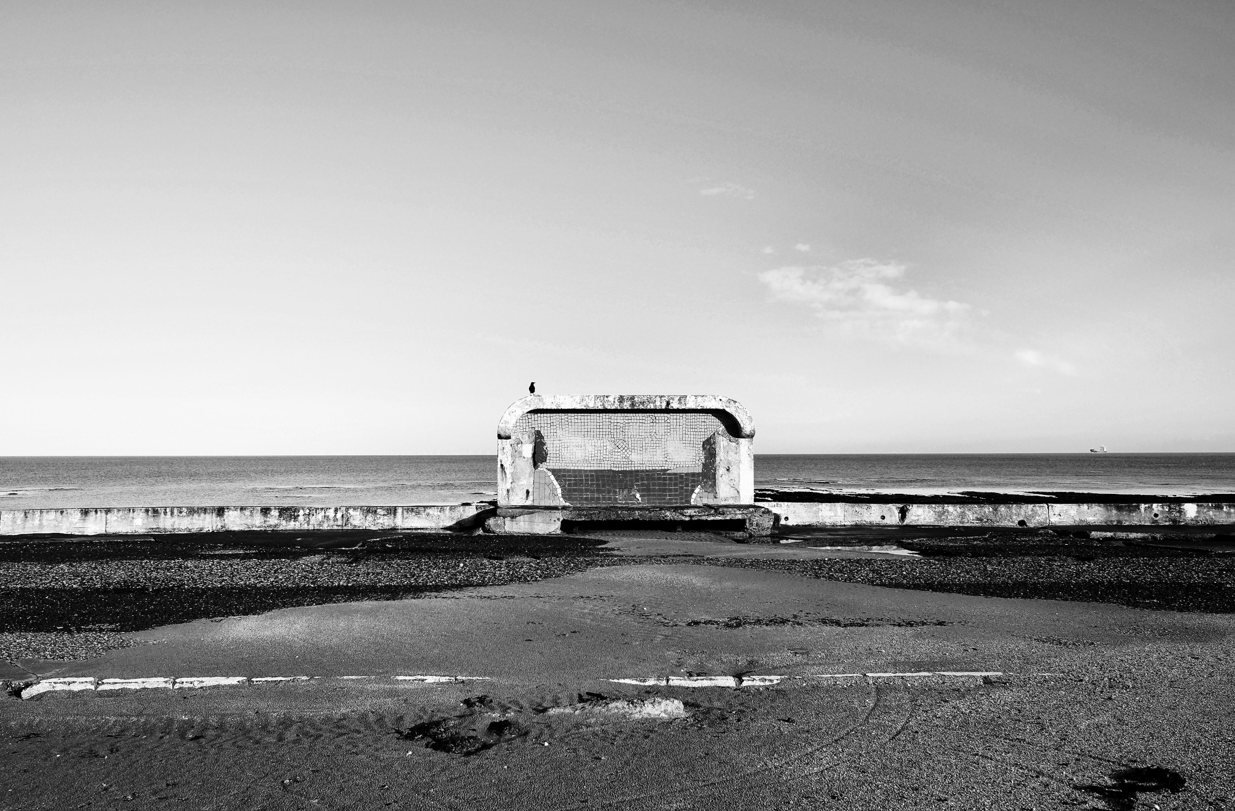
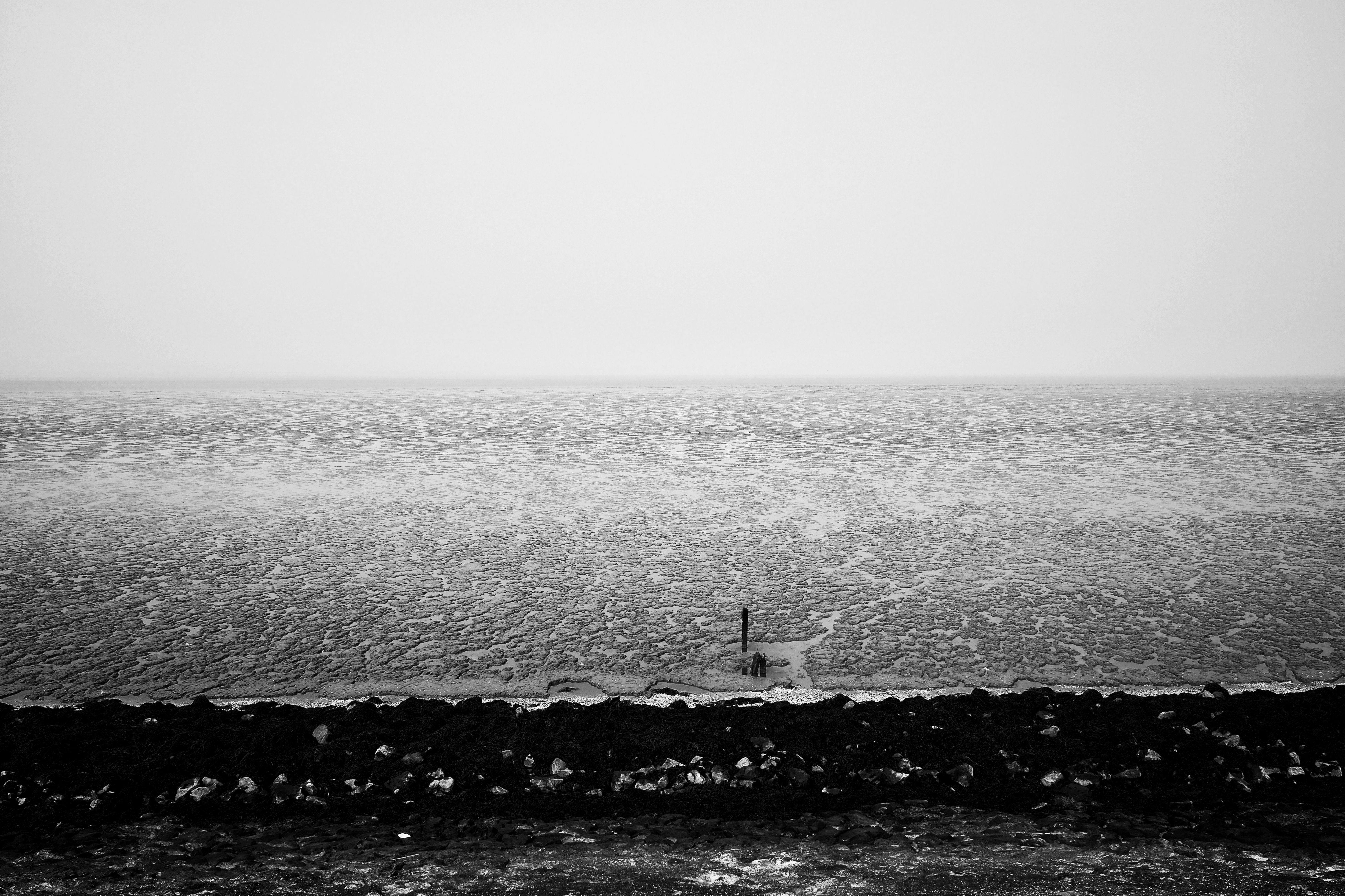
This project is the result of a series of walks undertaken along the Thames Estuary from early 2018 to late 2019, my last period in England. During this time, I walked every mile of the Thames shoreline from London to the North Sea on both the northern and southern banks. The walks took me through myriad environments: marshland, muddy banks, meadowland, suburban sprawl, decaying towns, around giant shipping ports, gas and oil storage compounds, forgotten fishing centers, and across remote, desolate isles. Several routes were through zones inaccessible by train, so required multi-day journeys cutting across military land and along motorways, staying in local inns and guesthouses.
The Thames is an indelible force in the historical development of London as a major metropolis, and yet almost entirely disconnected from contemporary life in the city. Across history, the estuary has been the site of iron age settlements, the entrance point for mass immigration, the home to generations of fishermen and craftsmen, and the base for centuries of military fortification. While still one of the major shipping routes in the world and spanning barely 70km from London to the ocean, today the Estuary exists as a hinterland, close in proximity yet isolated and foreign from the metropolis it supports. From the ongoing excavation of the river bottom to accommodate ever-increasing container ships and super-ports to the incessant tidal force of the river itself, the landscape of the Estuary is always changing.